Modern stories about dams tend to focus on the harm to biodiversity and ecological damage they cause. But the successful preservation of this body of water through the replacement of its dam, proves this isn't universally true. It is a compelling conservation & recreation win-win story of community, risk, dedication, and a bit of good luck. ​​​​​​​
Tucked in an elevated valley between two small Vermont towns, Gillett Pond is a small oasis of biodiversity and recreation. Though it appears to be a natural mountain pond, its past, present, and future reflect more than 150 years of human effort.
And it might have vanished entirely if not for a small, community‑led effort to save it.

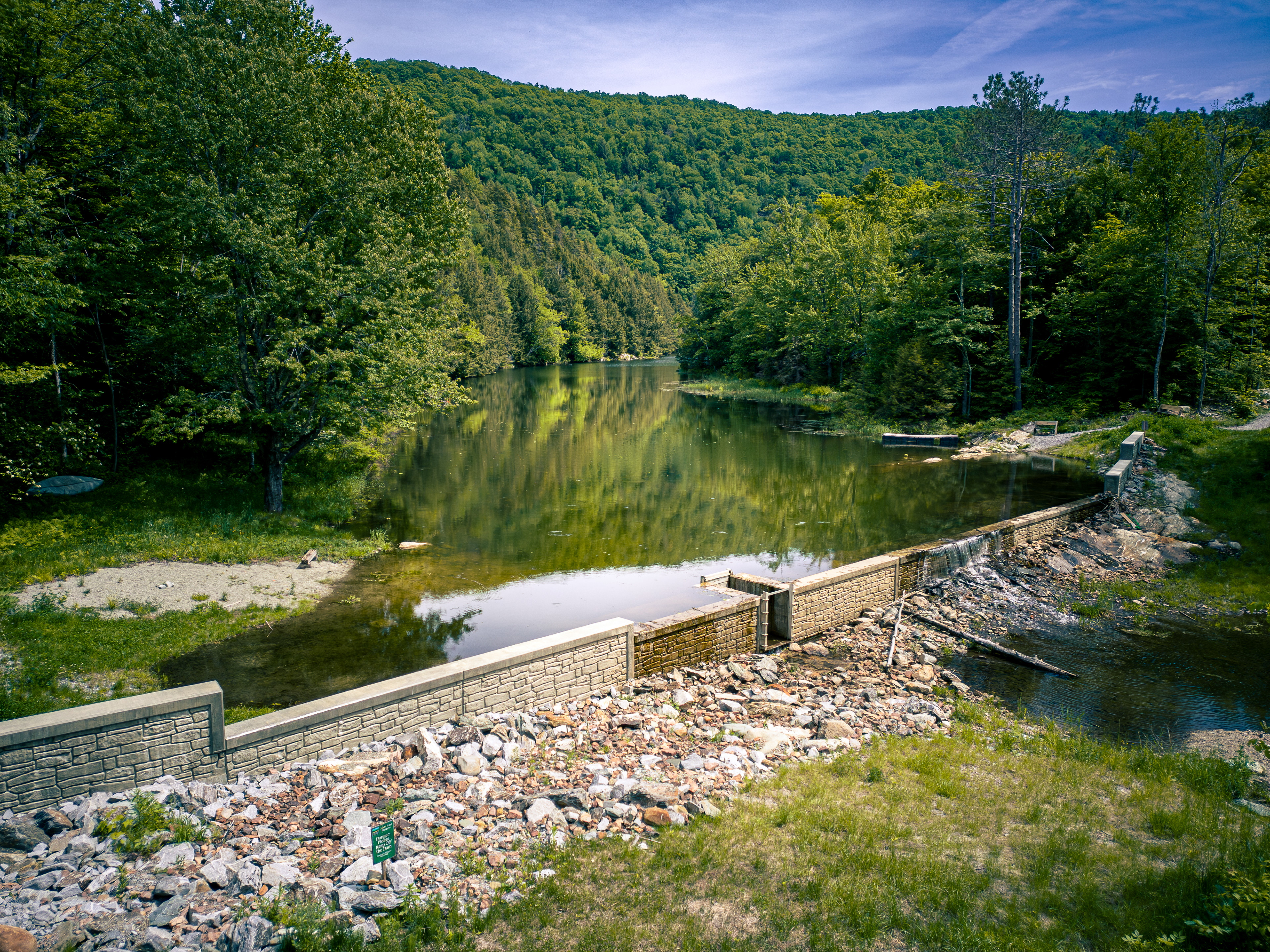
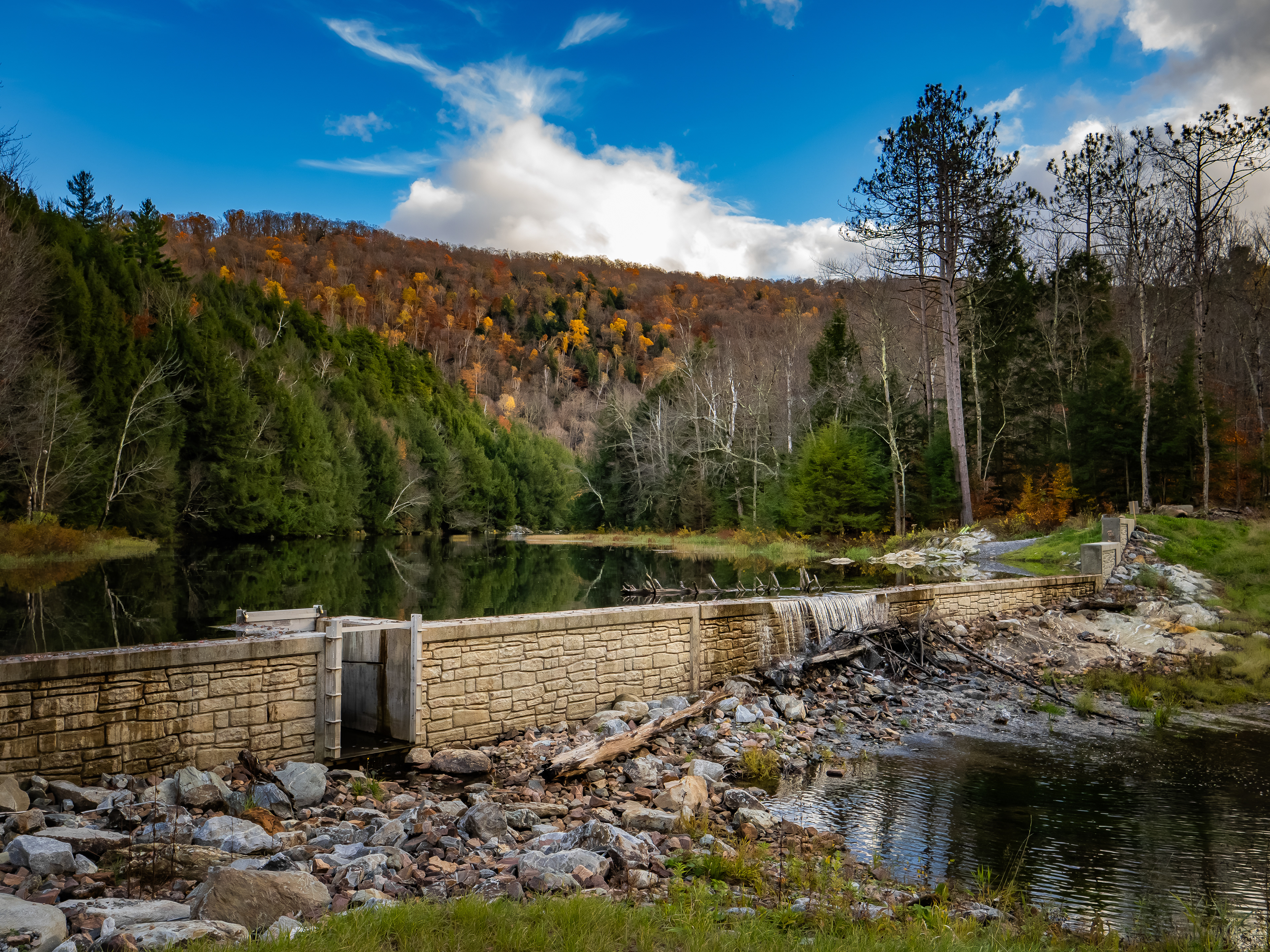
The New Gillett Pond Dam. Completed April 2025 | Audio of the Dam from 10/25/2025

Gillett Pond exists because of a dam. Unlike many Vermont ponds and lakes, its only development is the dam itself, a small floating slip, and a parking lot. There are no private homes, rentals, boat ramps, or park facilities—and, most notably, no public trails. This absence of trails greatly limits human and pet disturbance, creating an unusually quiet refuge where the only occasional noise comes from a nearby road. The minimal development makes the pond a safe haven for wetland and aquatic species, as well as their predators. Migrating birds, bear, deer, beaver, cottontail rabbit, chipmunk, red squirrel, muskrat, porcupine, fisher, mink, and numerous fish species all call this area home.​​​​​​​
Topographic satellite map facing north towards the town of Richmond.
A look at the map helps explain why Gillett Pond is so biodiverse. The pond sits within a much larger conservation landscape. The highlighted land is owned by the Richmond Land Trust, which protects this area along the Richmond–Huntington border. The 30‑acre pond is part of a continuous block of conserved land. Just east of it lies the Robbins Mountain Wildlife Management Area, outlined in blue, which connects directly to Camel’s Hump State Park. Together, these protected areas create an expansive, largely undeveloped habitat corridor that supports a wide range of wildlife.

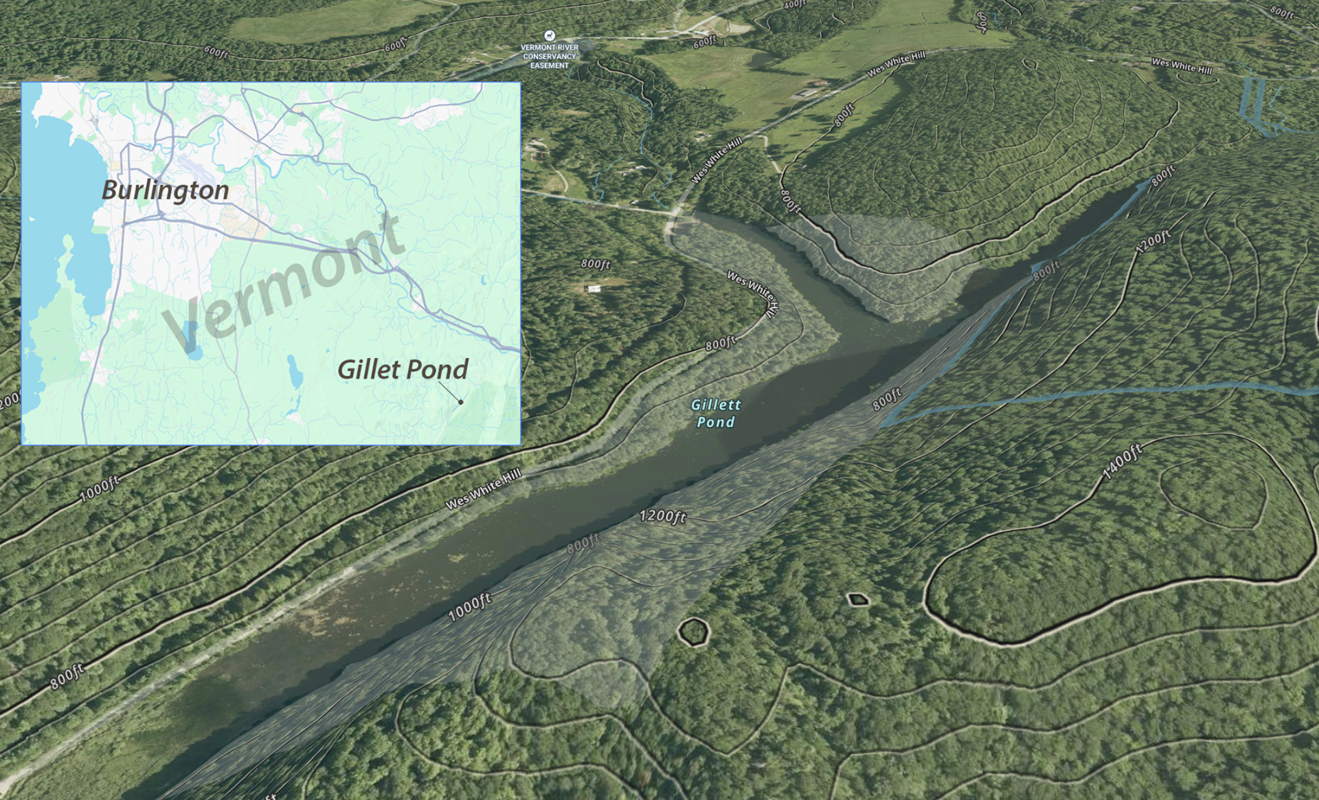
Gillett Pond at the top left with the Robbins Mountain and Camels Hump conserved lands shown highlighted. © Gaia GPS, © OpenStreetMap

Although beavers likely shaped small ponds in this valley for centuries, the first man‑made dam was built around 1900. In the late 19th and early 20th centuries, the pond’s water powered mills and generated electricity, but those uses faded a century ago. And even as the pond grew popular for recreation and became valuable habitat, the dam gradually fell into disrepair.
Then came Hurricane Irene.

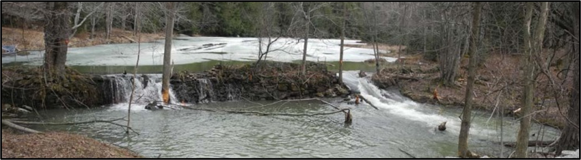
The dam at Gillett Pond in recent years, showing an advanced dilapidated state. (Photo courtesy of Bob Low, 2025)

In August of 2011, Irene dumped up to 6 inches of rain in a short period of time across Vermont. The state hadn't seen a storm like it in years, and the repair costs cleared $800 million dollars.  It was a wakeup call and prompted several state-wide resiliency efforts, including a dam inventory. "Collapse is imminent" was the verdict for the Gillett Pond dam. Something had to be done.
In addition to the significant ecological and biodiversity damage they can cause, dam projects are also expensive. Often, they exist to benefit from resource extraction, have a financial incentive or are the result of safety requirements. At Gillett Pond there are no codes requiring a dam, no mandates from the authorities to prevent flooding or erosion. In fact, rebuilding the dam runs counter to state recommendations that encourage dam removal. The proposed replacement also faced opposition from community members—including the former landowner—who preferred to see the area return to a more natural state.
It was easy to envision the dam being dismantled. 
"Anyone who has skated, paddled, skied, walked, or just gazed at the fall colors reflected in the pond understand at a very deep level how special and unique it is, especially in Vermont" says Fritz Martin. Martin is a member of the Friends of Gillett Pond, the group that banded together to save the pond by replacing the aging dam. Convincing the community the dam project was worth it was one of the first hurdles to clear. Martin says the key was knowledge. 

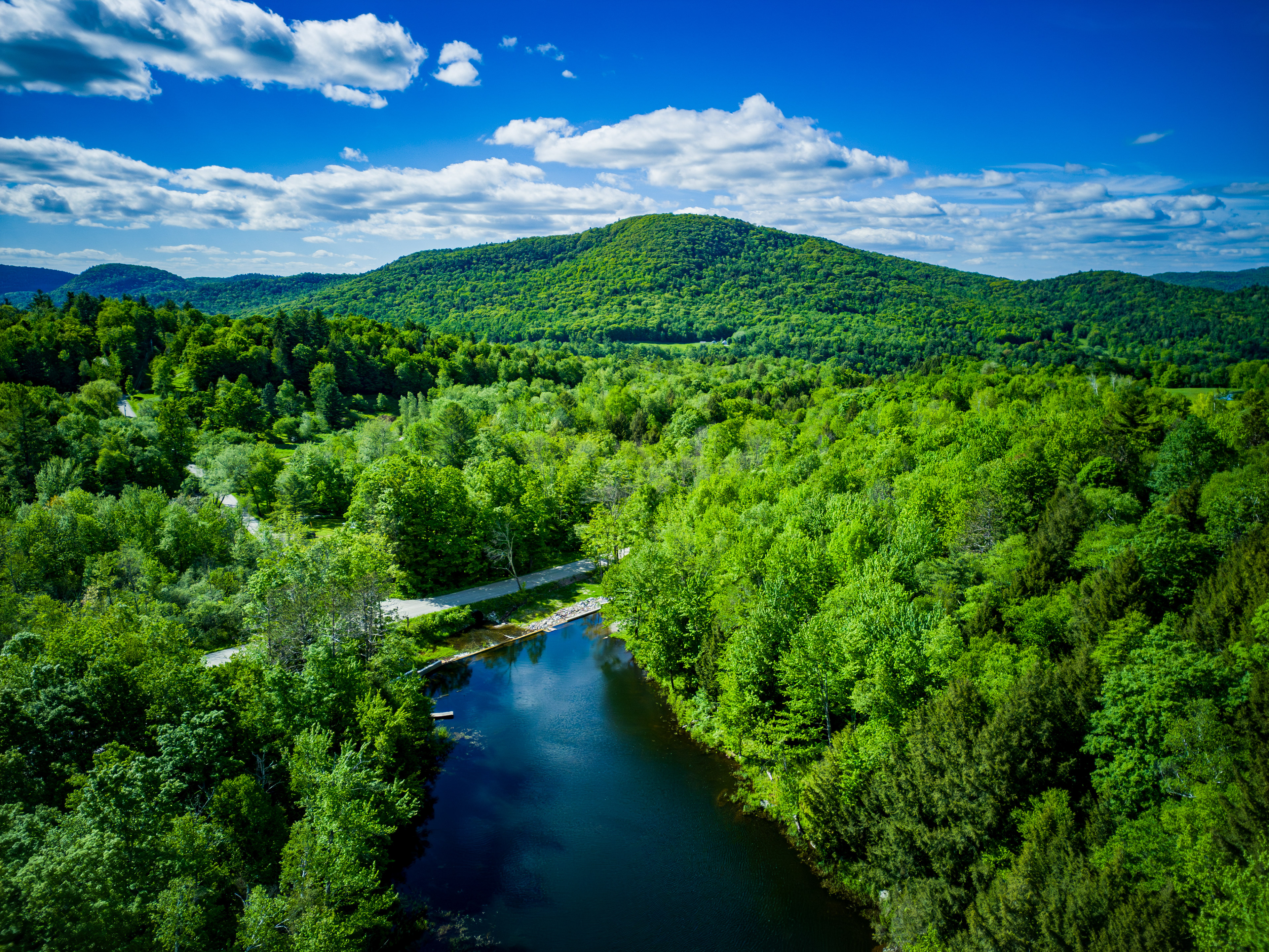
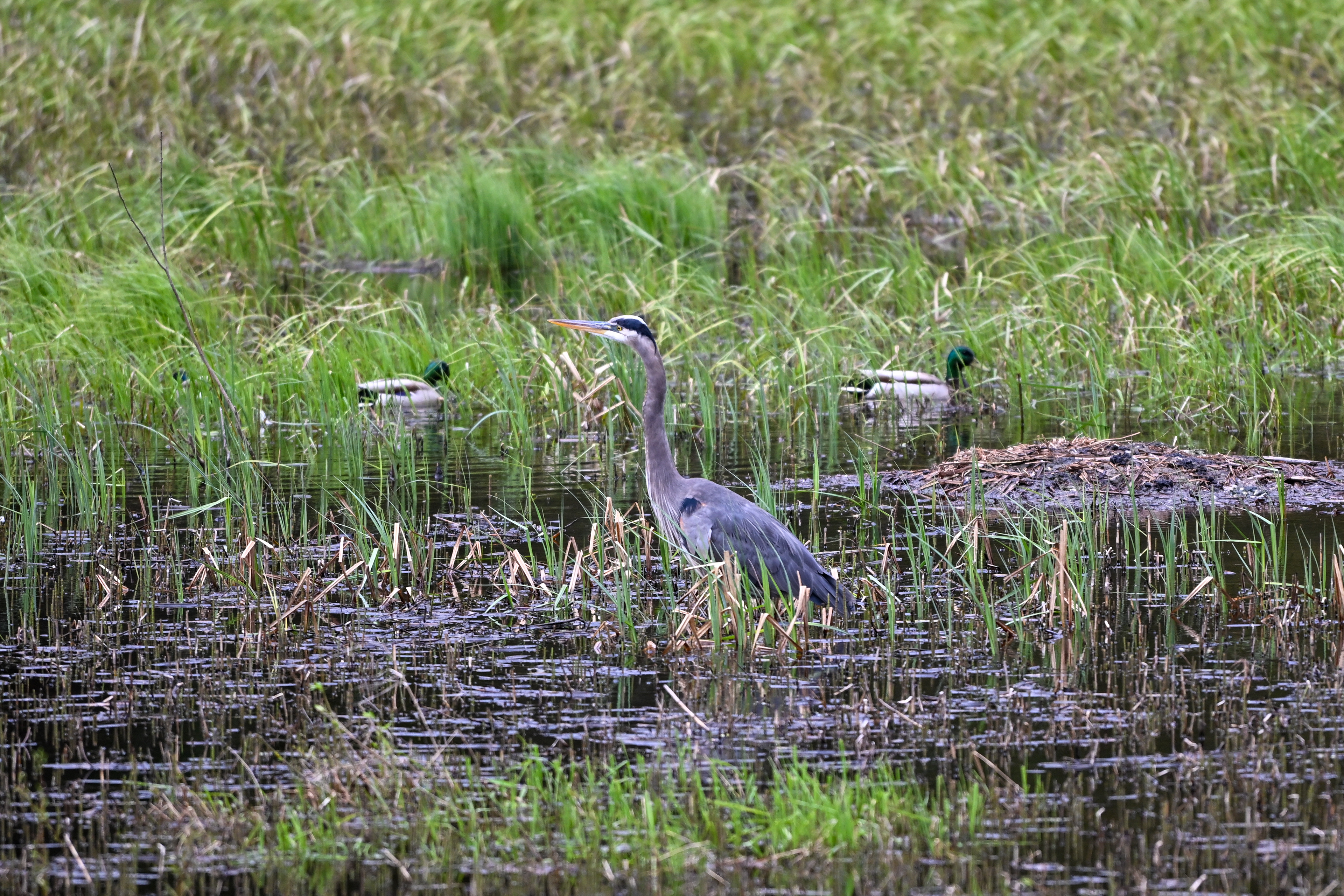
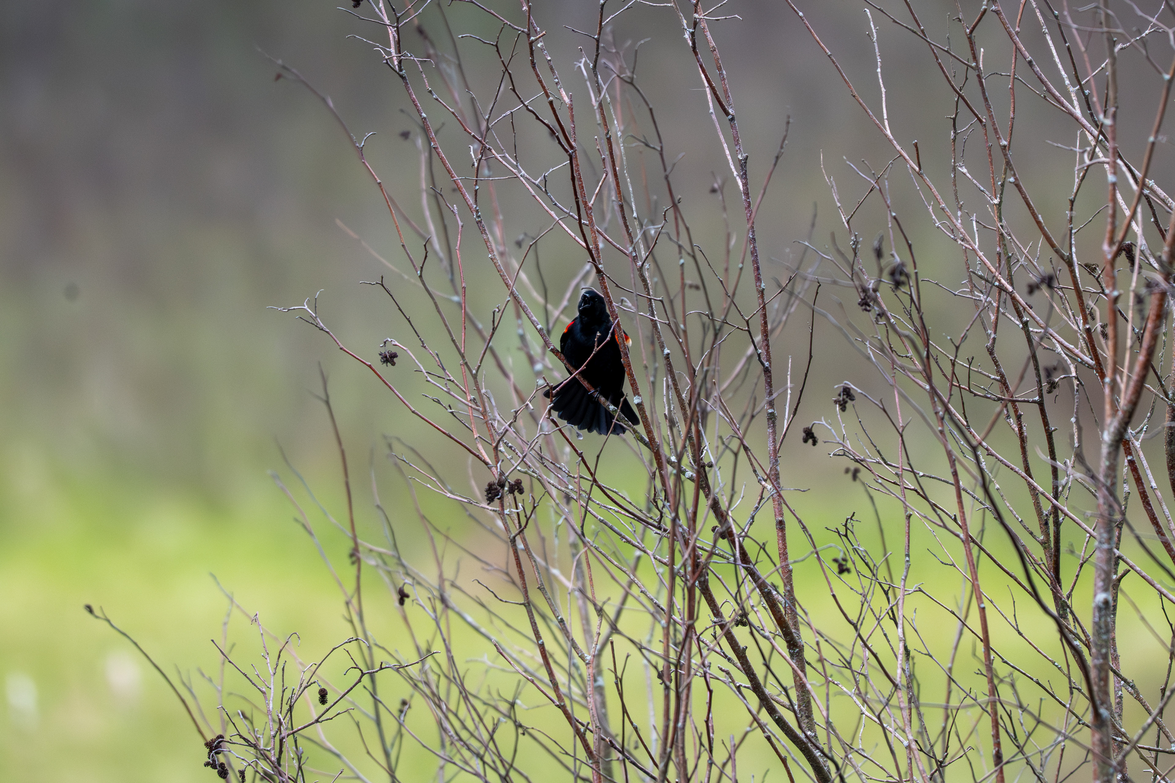
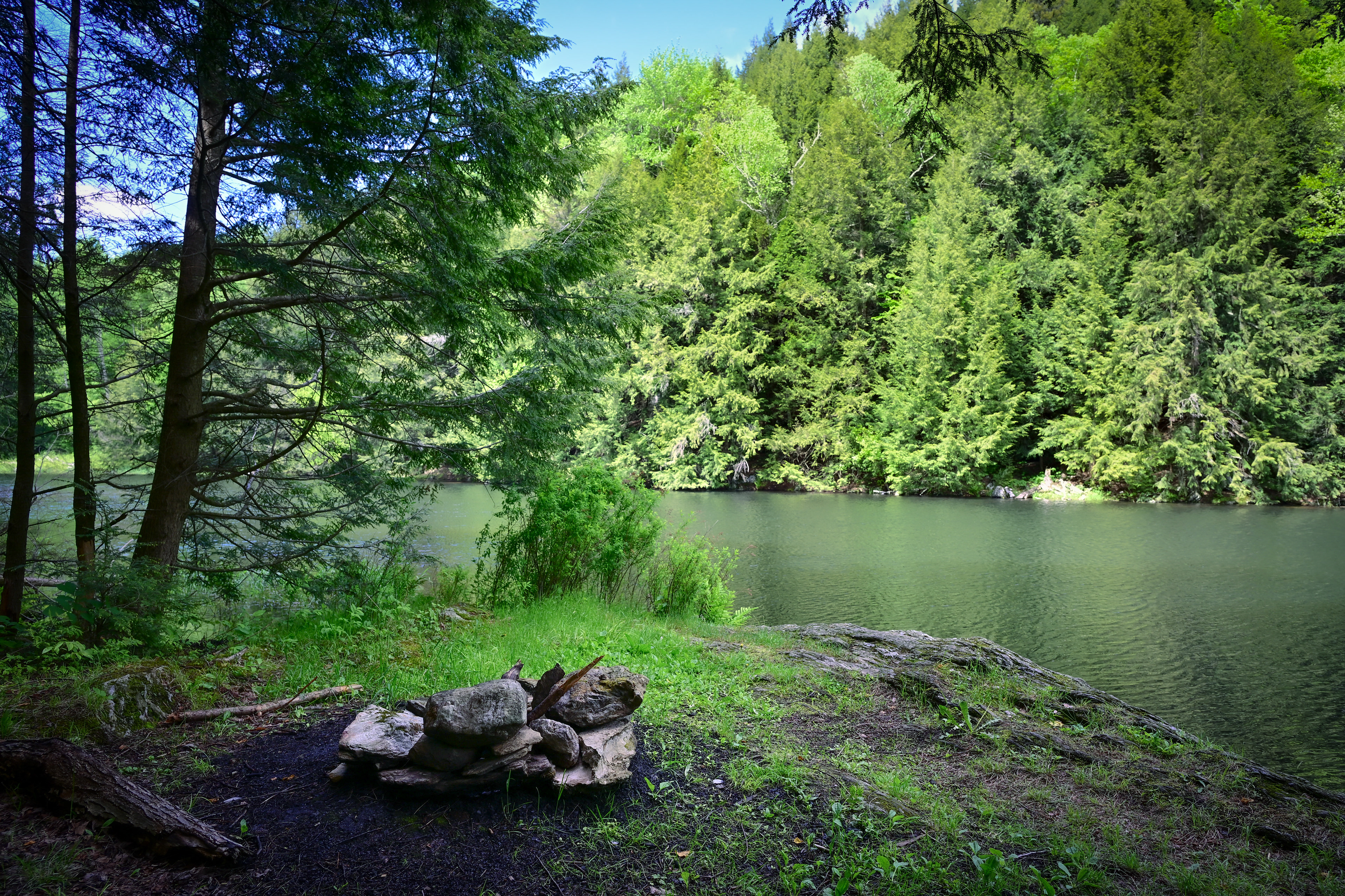
The pond gives way to emergent marsh and alder swamp on the southern end, an important breeding habitat for many species. ​​​​​​​

Drawing on ecological research from the Vermont Agency of Natural Resources and the University of Vermont, the Friends of Gillett Pond held a series of public meetings to engage the community. They presented studies showing the pond ranked as a “Highest Priority” area for Interior Forest, Riparian & Surface Water, and Geologic categories, and highlighted evidence of rare and uncommon species (NatureServe S3 and above) on the property. All of this information was accessible through ArcGIS‑based tools provided by the Vermont Agency of Natural Resources and its partners. The effort underscored the pond’s exceptional biodiversity value and helped the community understand what was at risk.​​​​​​​
“Not all dams are bad, Floyd Dominy gave dams a bad name. Beavers give dams a good name. Our dam is what the beavers would have built if they had concrete.”

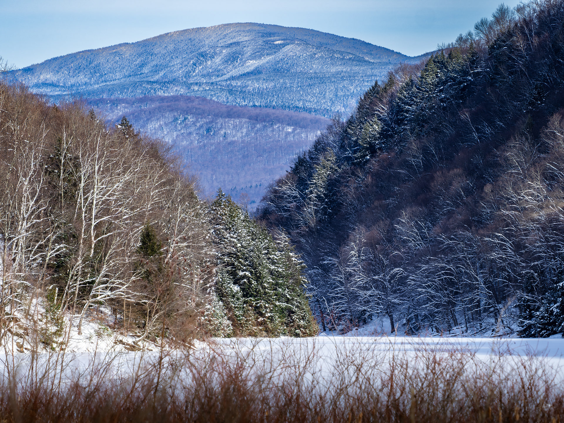
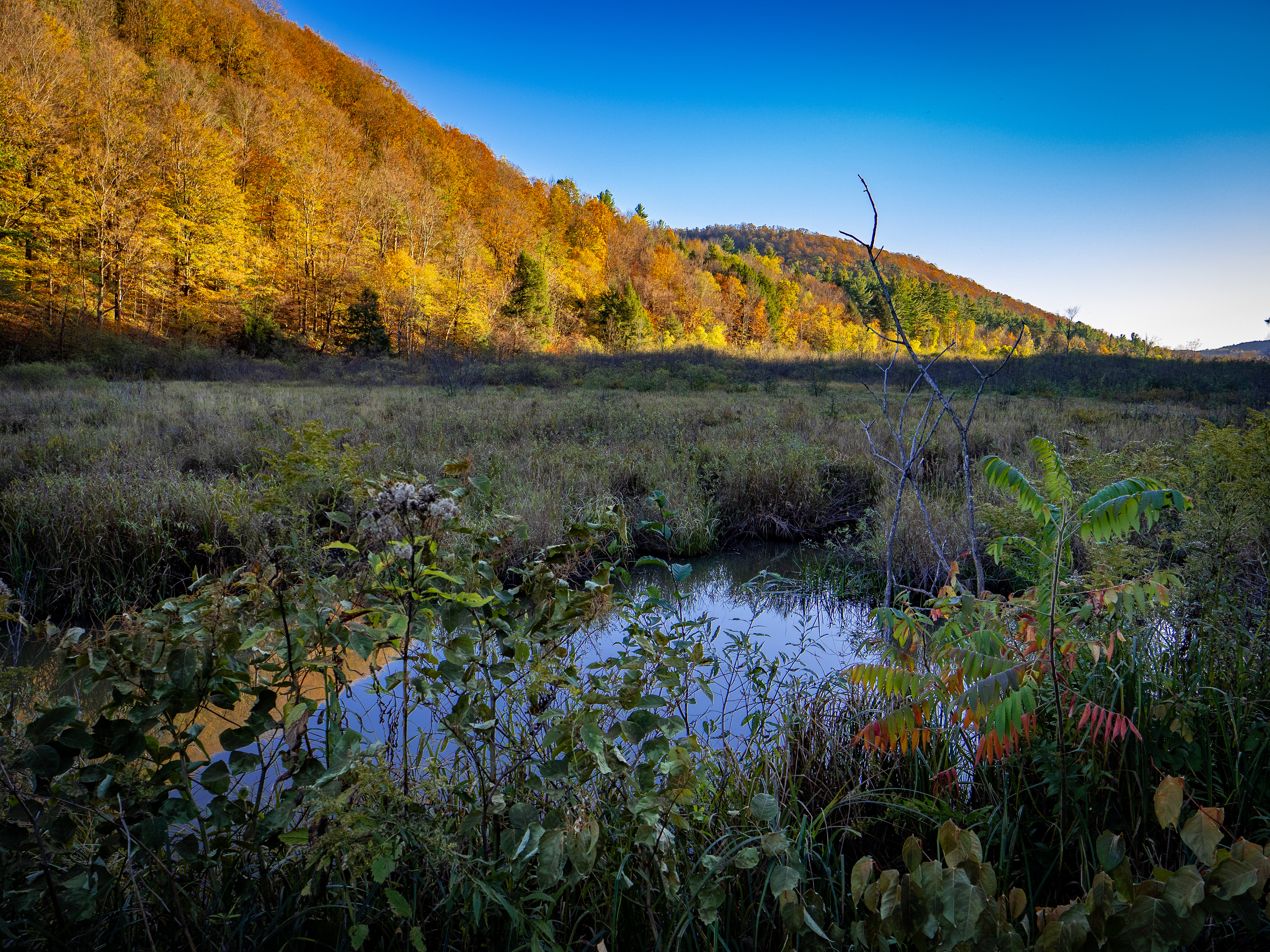
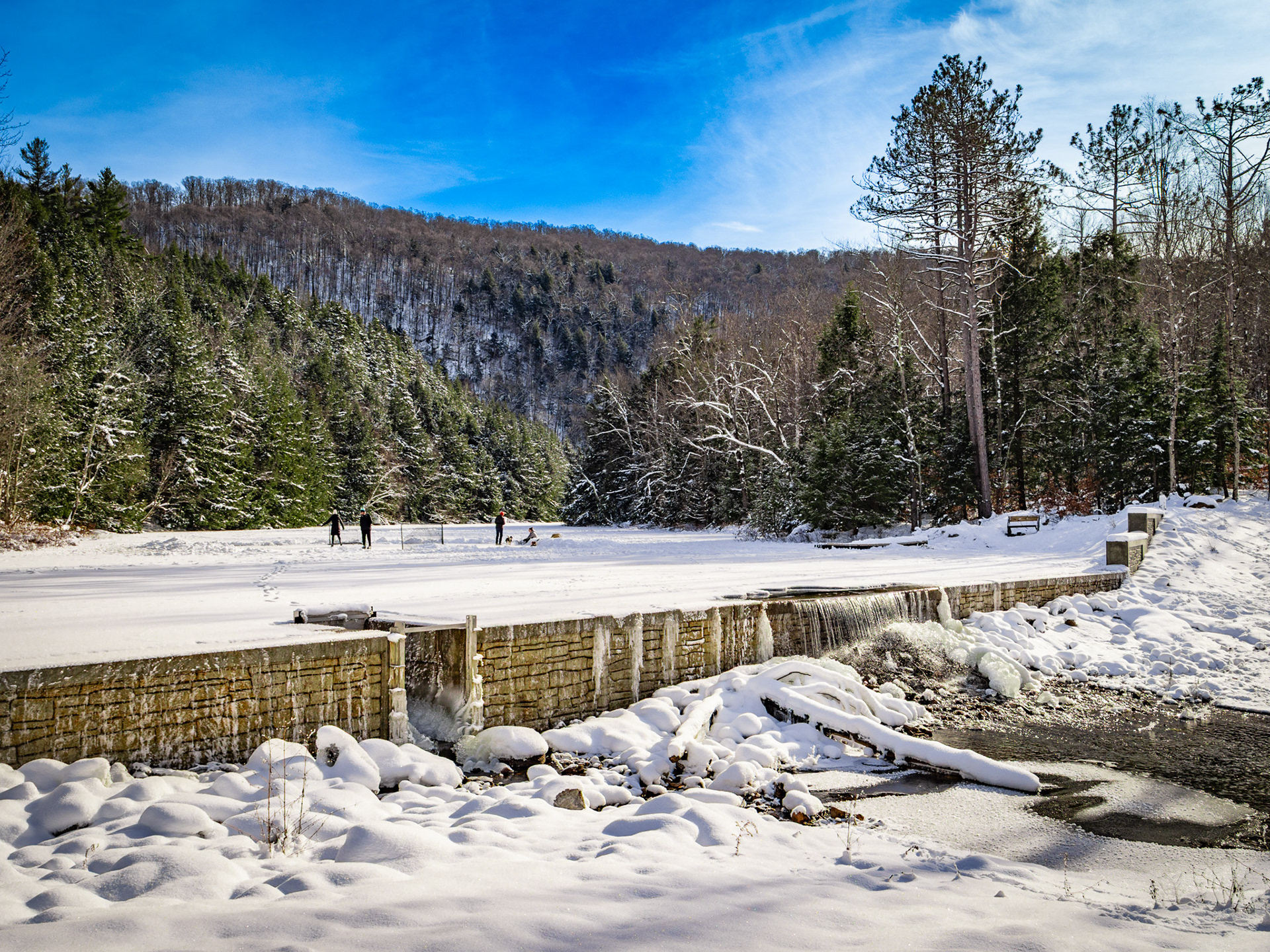
Winter sets in at the southern terminus of the pond. The ridgeline leading to Oxbow Mountain, a route of the Vermont Long Trail is seen in the distance.

Earning the community’s trust was the first hurdle. Securing funding was the next, and it proved far more challenging and time‑consuming than expected. The Friends of Gillett Pond consisted of local residents with expertise in fundraising, engineering, finance, environmental analysis, permitting, construction, project management, and communications, making them well‑suited for a project of this scale. 
Working together with the Richmond Land Trust, the Friends oversaw a fundraising effort which quickly attracted a sufficient amount to purchase the property. The Trust then took ownership of the pond after the purchase, with the Friends and the Trust working together to fundraise for the new dam.
Their collective skills were tested as costs climbed. An initial 2016 estimate of roughly $600,000 kept rising, and with COVID‑era inflation, the price approached $1 million. The years‑long fundraising effort required repeated permit resubmissions and careful planning to keep the project from stalling in bureaucratic limbo.​​​​​​​

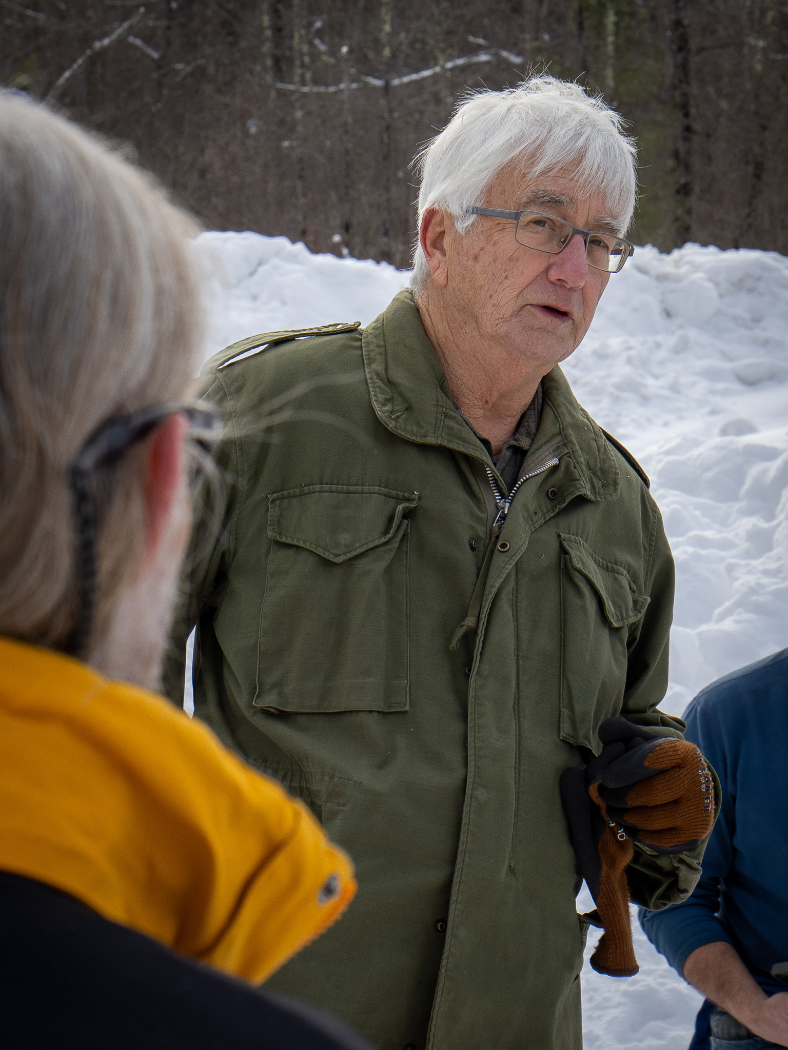
Bradford Elliot conducts a meeting of the Richmond Land Trust.

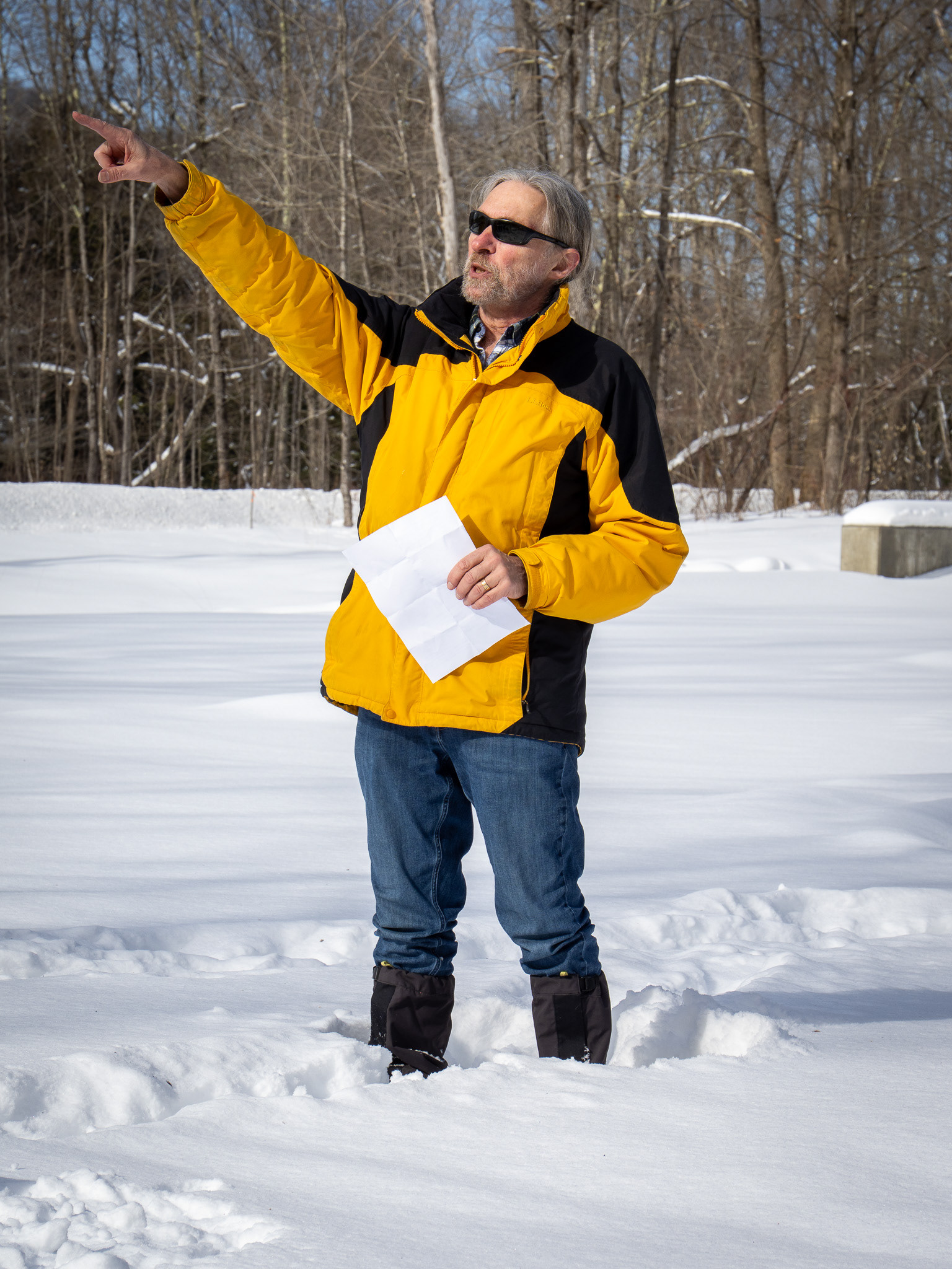
Fritz Martin recognizing donors during an event at the pond.

The project eventually secured $250,000 in community donations and another $250,000 from town conservation funds. But the gap remained, and it kept growing. Then, in 2021 the Richmond Land Trust learned the dam was one of 11 projects approved for federal funding. A $250,000 congressionally directed spending request—an earmark from then Vermont Senator Patrick Leahy, who at the time chaired the Senate Appropriations Committee and served as president pro tempore, provided a crucial boost. This infusion reinvigorated the effort, spurred another round of fundraising which closed the gap, and ultimately cleared the way for construction to begin in the summer of 2024.
With the project largely funded, the group issued RFQs, secured permits, and worked with engineers to choose the type of dam (concrete gravity) and scheduled construction for the end of 2024. The project was managed by the Friends on behalf of the Trust for the expressed purposes of recreation and conservation only. 
It might be the only example of its kind in the state.
Martin offered some further thoughts on the challenges:
Why did you take this on? What aspect or benefit of the new pond is most important to you?
Flat bodies of water are scarce and those that have not been surrounded by development are nearly non-existent. So, when confronted with losing a treasure like this, you don’t think about it, you dig in and save it because that’s what needs to be done. 
What would you say to the state about the benefits of this project given the incentives to get rid of dams?
Not all dams are bad. Floyd Dominy gave dams a bad name. Beavers give dams a good name. Our dam is what the beavers would have built if they had concrete.
This was a $1 million project, a big ask in a small community. What are some suggestions for others that might be trying to take on such an ambitious fundraising challenge in a similar environment?
Be convinced your project is truly beneficial to your community. Then, be realistic, but not disheartened, and hire some professional fundraising help. Also understand that it will take longer than you expect but you will also get donations from sources you never expected.
What are your hopes for the future of the pond?
I don’t need hope. I have certainty that for generations to come it will continue to provide a biodiverse environment, soul satisfying retreat, and recreation opportunities, things that my generation and past generations have enjoyed.
Explore
The pond is accessible from Wes White Road. There is parking for about 8 cars near the dam located on the western branch (44.35816° N, 72.96483° W) and another, smaller parking area near the end of the southern branch (44.34914° N, 72.97018° W). A small single-track leads from the main parking area to the shore and provides a put in for canoes and other small paddle-sport craft.
The water is known to have leeches, so swimming is not recommended. Paddle sports, ice fishing, and skating are some of the more popular activities along with wildlife spotting.
Though there are just a couple of places with level terrain, the steep shores do not offer many spots to rest. But this means they are usually bustling with wildlife. The wind can funnel near the center of the water so paddling close to shore can help. This can help provide distance to the opposite shore, which encourages wildlife to come nearer to the pond. The narrow shape of the pond means wildlife can still be easily seen on the opposite shore.

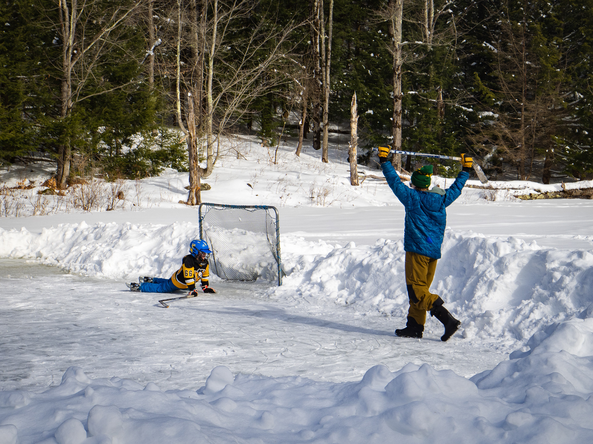
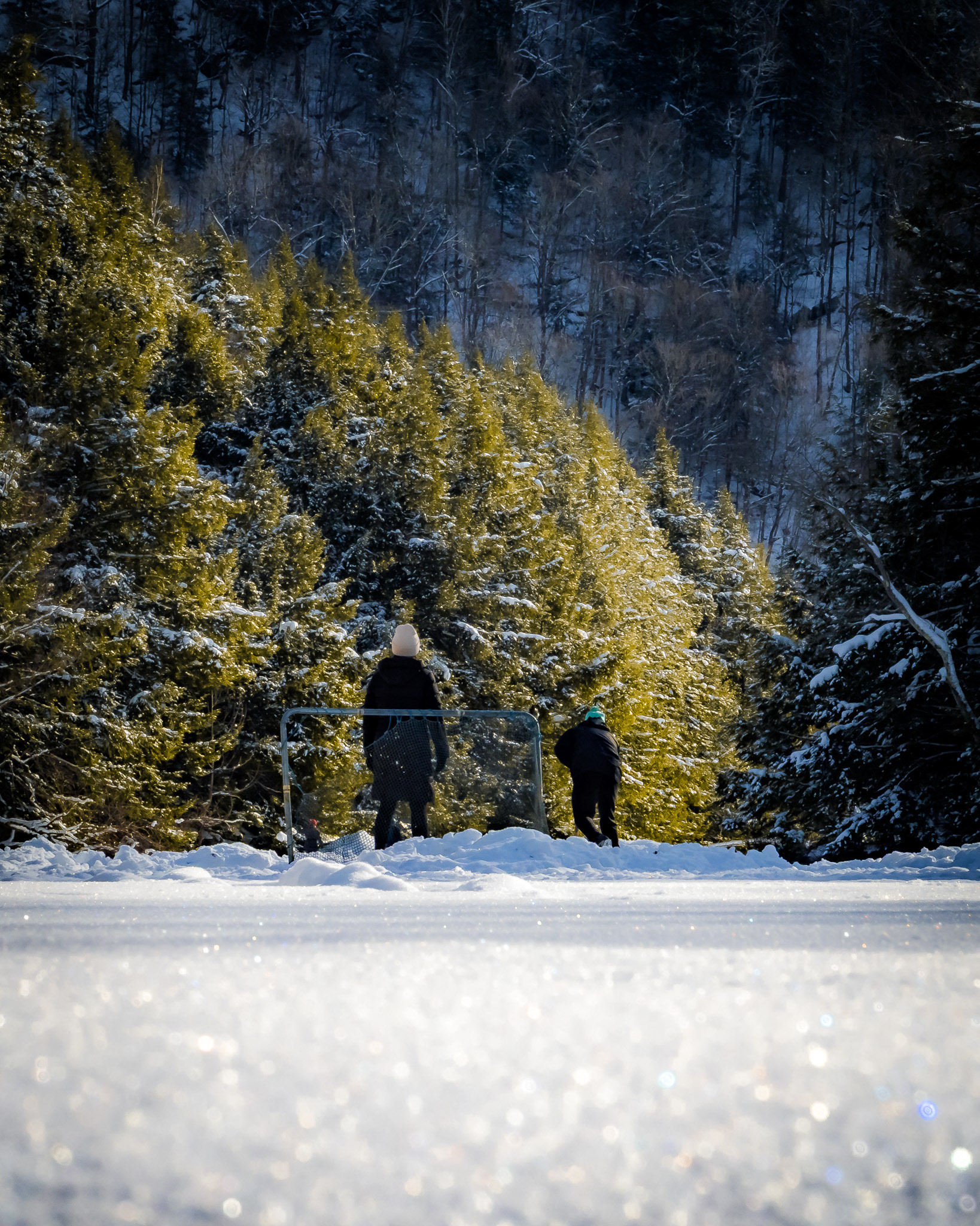
Setting up for ice hockey. December 2025

Back to Top